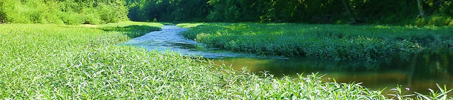
Vulnerability of Aquatic Communities to Climate Change and Disturbance
Objectives
-
1.) Identify areas with stable aquatic communities over time and determine environmental factors associated with stable communities.
2.) For stable communities, identify vulnerability to climate and land use change. For unstable communities, determine where these communities lie on the continuum of stability.
3.) Determine whether vulnerability to climate and land use change differs by systems (i.e., stream size) or broad geographic regions (plains systems of MN, NE, and KS to Ozark systems in MO and AR) and how this may be affected by landscape-level factors.
Overview
The NPS Inventory & Monitoring Program is designed (in part) to elucidate the current variability in biotic metrics typically encountered within parks. These results can be used with climate and land use scenarios to determine the vulnerability of aquatic biota to these changes. We will leverage efforts by the NPS, USGS, and universities to identify 1) areas with stable aquatic communities, 2) aquatic communities vulnerable to climate and land use change, and 3) whether vulnerability to climate and land use change differs by stream size or geographic region (plains to Ozarks) and how vulnerability may be affected by landscape-level factors. Fish and aquatic invertebrate community structure and stability will be assessed using several metrics (e.g., IBI and its subcomponents, EPT, etc.) developed for each site and each year. An index of aquatic biota vulnerability to climate and land use change will be developed using findings from ongoing projects linking temperature and flow to fish abundances, a literature review of fish and invertebrates guilds sensitive to climate change, and a study comparing methods to index fish community vulnerability. The final index developed will be used to assess whether vulnerability to climate and land use change varies by stream size and region. Geo-referenced datasets of predicted air temperature and precipitation to 2100 and predicted changes in landcover to 2040 for each park will be used to identify parks that will experience the greatest climate and land use changes. This study will provide park managers with tools to identify rivers sensitive to climate and land use change and of those which ones will most likely experience changes in climate and landcover.