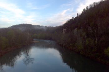
Development of a flexible mid-sized river habitat sampling protocol to complement fish protocols
Objectives
-
1) Determine is the most efficient and cost-effective technologies to collect biologically-relevant non-wadable river habitat
2) Use deep learning to develop a method to automate the delineation of habitats from imagery
3) Recommend a riverine habitat sampling protocol to complement an existing fish sampling protocols (Dunn and Paukert 2020) that meets the needs of agency managers
Overview
Habitat assessments are crucial to monitor habitat changes over time, understand biological responses to changes, and overcome habitat deficits through restoration. Recently the development of a flexible, standardized fish sampling protocol for mid-sized rivers. However, there is no complementary aquatic habitat sampling protocol for these rivers. Numerous technologies (e.g., acoustic Doppler current profilers [ADCP], side-scan (SS) sonar, 360-degree cameras) have recently been used to map habitats in Missouri aquatic systems and may provide a relatively rapid assessment of habitat in the field, particularly if the data used are already available. However, we do not know which suite of new technologies (and how much effort) is needed to assess fish habitat and at what spatial scale. There is a need to develop a habitat sampling protocol that is efficient, at a relevant spatial scale to aquatic biota, spatially referenced, and scalable to address multiple Resource Management and Science Branch objectives. Our goal is to provide MDC with a suite of scaled-back protocols that use only a subset of the technologies that best represent habitat conditions in mid-sized rivers, and is flexible to meet various objectives. We will use available data and field techniques (e.g., UAS, side-scan sonar) and will incorporate not only a time component (e.g., how many hours/days needed for field and office) but also cost (e.g., cost of buying a 360 camera or side scan sonar, image processing and/or ground-truthing of existing LiDAR) so decision makers can make a more informed decisions on the cost/time benefits of protocols developed for mid-sized rivers.